
Drone photography for property professionals.
Drone photography for estate agents, chartered surveyors, developers and homeowners across Huddersfield, Leeds and West Yorkshire.
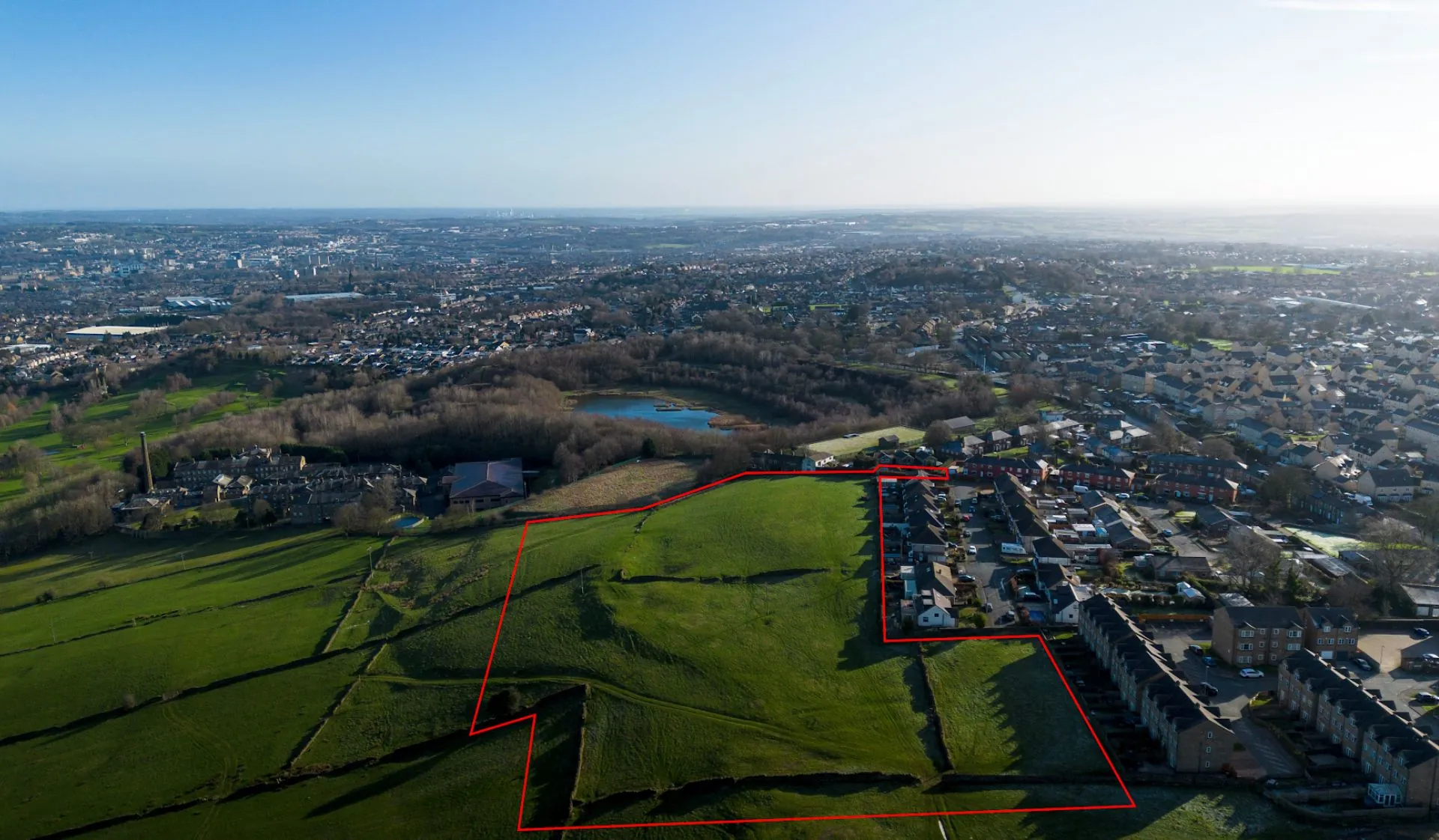 Clayton Heights, Bradford
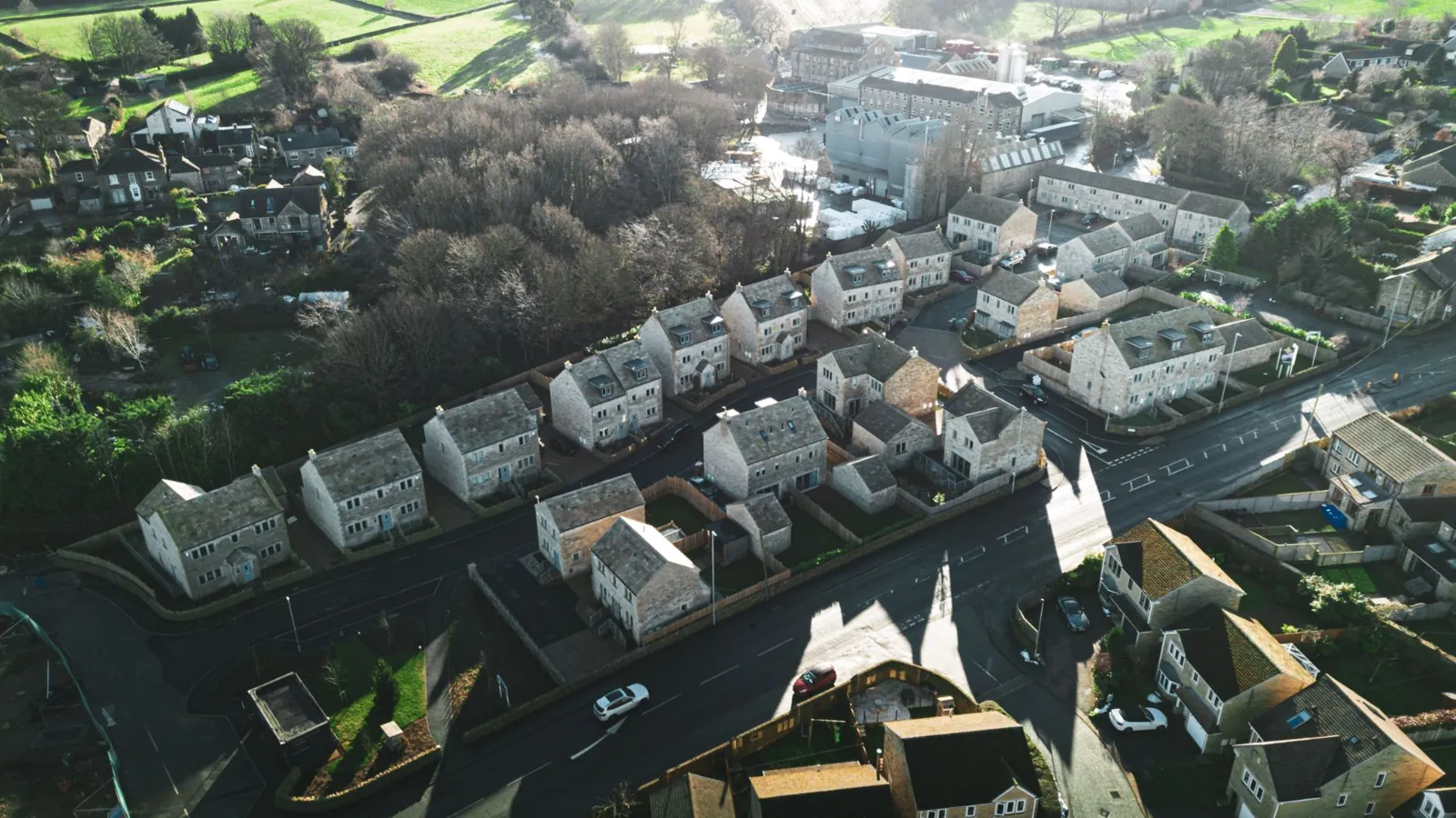 Huddersfield & Leeds
Drone photography that shows a property properly.
Based in Huddersfield, Franks Media provides drone photography for property professionals across West Yorkshire. We work with estate agents, chartered surveyors, developers and homeowners.
Whether it’s a residential listing, a commercial site or a roof inspection, the images come back edited, colour corrected and ready to use.
We handle the airspace checks, flight restriction zone checks and landowner permissions before the day, so all you need to do is send the address.
Drone photography services.
Book one on its own or combine them on the same visit.
Property Drone Photography
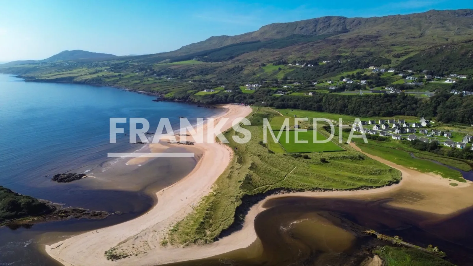
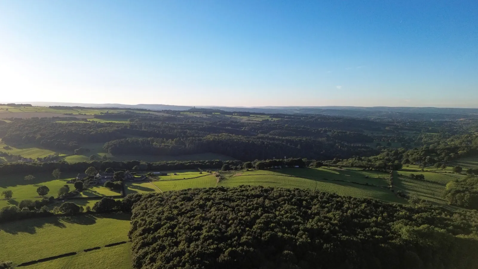
Aerial stills that show a property, its plot and its surroundings in a way ground photography can’t. Used for residential listings, commercial marketing and new development sites across Huddersfield and Leeds.
Roof Surveys
Drone roof inspections for domestic and commercial properties. Spot damage, missing tiles, chimney defects or guttering issues in high resolution, without scaffolding or ladders.
Site & Survey Documentation
Drone imagery for chartered surveyors, planning consultants and developers. Site overviews, boundary documentation, and pre and post-development records across West Yorkshire.
Public liability cover on every flight. Evidence provided on request.
Edited, colour corrected images delivered digitally, ready to use.
Based in Huddersfield, covering Leeds, Halifax, Bradford and the rest of West Yorkshire.
Built for property professionals.
Estate Agents
Drone photography that shows a property’s location, setting and size, so your listing gives buyers the full picture.
- Residential sales listings
- New build & development marketing
- Land and site photography
- Commercial property
Chartered Surveyors
High-resolution drone imagery for surveying and valuation reports, with full insurance on every site.
- Site and red line boundary plans
- Condition documentation
- Development viability imagery
- Pre and post-development records
Developers & Land Promoters
Record construction progress, show a site’s context and setting, and supply images for planning applications, land promotion packs, investor documents and brochures.
- Construction progress records
- Site overview photography
- Planning application imagery
- Land promotion & case study photography
What clients say.
We work with land promoters, surveyors, developers and agents who need images for a marketing pack, a planning submission or an investor document.
Our aerial photography of the Clayton Heights site in Bradford features in Aura Residential’s published case study for the scheme, which secured outline consent for up to 60 new homes. View the case study
“Thank you once again for over-delivering! Site visits took place on Tuesday and both commissions completed by Wednesday morning. I would highly recommend Franks Media.”

Two site commissions across Yorkshire. See the work on LinkedIn
“Great job and quick turnaround. I’ll be recommending you to others.”

Aerial photography for the Clayton Heights, Bradford scheme. View the case study
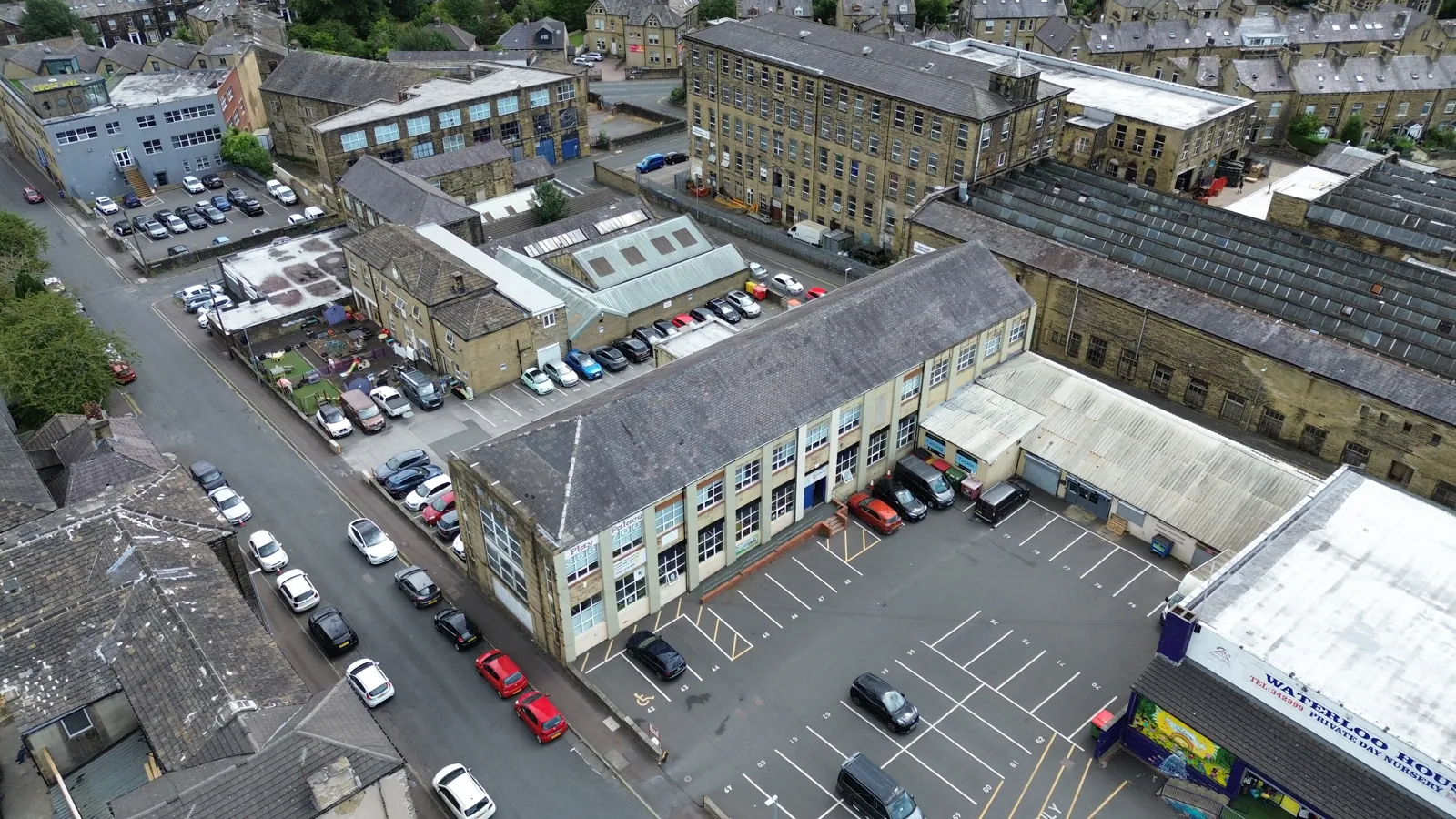 Roof survey, Halifax
Roof surveys without the scaffolding.
A drone roof survey lets homeowners and property professionals see a roof in detail without ladders or scaffolding. High-resolution images make it easier to spot problems early.
Covering Huddersfield, Halifax, Leeds and the rest of West Yorkshire, with edited images delivered digitally.
- Tiles, slates and flat roofs
- Chimney, flaunching and pointing
- Guttering, fascias and soffits
- Ridge tiles and flashings
- High-resolution images, edited and ready to use
Four simple steps.
Get in touch
Send the property address, what you need and your timescales. We’ll come back with a clear, no-obligation quote.
We confirm and book
We check the location, confirm availability and arrange a time that suits. All permissions are sorted before we fly.
The shoot
Most property shoots take under an hour on site, depending on the brief.
Images delivered
Edited, high-resolution images delivered digitally, ready for listings, reports or brochures.
Drone photography across West Yorkshire.
Based in Huddersfield, we cover drone photography and drone surveys across West Yorkshire and further for larger commercial, development and land promotion work.
Not sure if we cover you? Send us the postcode and we’ll let you know.
Drone photography, answered.
Anything not covered here? Send us a message and we’ll come back to you with a straight answer.
How much does drone photography cost in Huddersfield?
Cost depends on the size of the property, how many images you need and how far the site is from Huddersfield. A standard residential drone photography shoot for an estate agent listing is priced differently to a full commercial site survey. Send us the property address and a short brief and we will come back with a fixed, no-obligation quote.
Do I need permission to have my property photographed by drone?
You do not need permission to photograph your own property, but we do need permission from whoever controls the land we take off and land from. We handle the airspace checks, flight restriction zone checks and any landowner permissions before the day of the shoot, so there is nothing for you to arrange.
How will I receive the drone photographs?
Images arrive edited and colour corrected, delivered digitally as high-resolution files you can use straight away in listings, reports, brochures and planning documents. If you are working to a deadline, tell us when you need them and we will agree a turnaround before the shoot.
Can you fly a drone in bad weather?
Drones cannot fly safely in heavy rain or high winds, so we monitor the forecast and will move a booking if conditions are unsuitable. Light overcast conditions are often ideal for property photography because they produce even lighting with no harsh shadows on the roof or facade.
Do you carry out drone roof surveys for homeowners?
Yes. A drone roof survey is a safe, non-invasive alternative to scaffolding or ladders. We photograph tiles, slates, flat roofs, chimneys, flashings, ridge tiles, guttering, fascias and soffits at high resolution, so you or your roofer can identify problems without anyone leaving the ground.
Which areas of West Yorkshire do you cover?
We are based in Huddersfield and regularly cover Leeds, Halifax, Bradford, Wakefield, Dewsbury, Brighouse, Mirfield, Holmfirth, Batley, Cleckheaton and Barnsley. We also travel further across Yorkshire for larger commercial and development work.
Are you insured for drone photography work?
Yes. We hold public liability insurance covering our drone work, and we are happy to provide evidence of cover to agents, surveyors, developers and site managers before attending a job.
Get a free quote.
Tell us about the property or site and we’ll get back to you with a clear, no-obligation quote.